UN
7 Alma Street
£ 65,000
Description
We don't have a Description for this property.
- Bedrooms
- 3
- Bathrooms
- 0
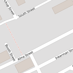


Leaflet © OpenStreetMap contributors
The heatmap indicates the level of crime in the area. The color of the heatmap indicates the crime severity and recency.
Metrics Year-on-Year
- Average area value
- 219,988.00 £Decreased by 11.41 %
- Average area rental value
- 675.00 £/moDecreased by 11.99 %
- Est rental Yield
- 3.68 %Decreased by 0.81 %
- Crime Rate
- 102.00 %Unchanged by 0.00 %
from 248,331.00 £
from 767.00 £/mo
from 3.71 %
from 102.00 %
Nearby Schools
| Name | Type | Ofsted | Distance |
|---|---|---|---|
| The Maden Community & Children'S Centre | Children's Centre | 0.14 KM | |
| Bacup Thorn Primary School | Community School | Outstanding | 0.53 KM |
| Bacup Nursery School | Local Authority Nursery School | Outstanding | 0.53 KM |
| St Mary'S Roman Catholic Primary School, A Voluntary Academy | Academy Sponsor Led | 0.84 KM | |
| Bacup St Saviour'S Community Primary School | Community School | Good | 1.01 KM |
Images
Nearby Streets
| Name | Average Price | Average Sqft | Distance |
|---|---|---|---|
| Booth Street | £ 0 | 0 | 0.00 KM |
| Spring Vale Mews | £ 0 | 0 | 0.00 KM |
| Bentley Street | £ 169,950 | 0 | 0.00 KM |
| A681 | £ 0 | 0 | 0.00 KM |
| Higher Cross Row | £ 119,950 | 0 | 0.00 KM |
Nearby Listings
| Address | Price | Type | Score | Distance |
|---|---|---|---|---|
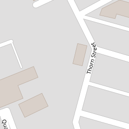
| Thorn Street, Bacup | £ 140,000 | BUY | 5 / 10 | 0.04 KM |
| Carlton Terrace, Alma Street, Bacup, Rossendale | £ 160,000 | BUY | 6 / 10 | 0.05 KM |
| Thorn Street, Bacup | £ 100,000 | BUY | Unknown | 0.05 KM |
| Alma Street, Bacup | £ 75,000 | BUY | 3 / 10 | 0.06 KM |
| Regent Street, Bacup, Rossendale | £ 170,000 | BUY | 6 / 10 | 0.12 KM |
Nearby Properties
| Address | Price | Distance |
|---|---|---|
| 29 Alma Street | £ 26,000 | 0.00 KM |
| 9 Alma Street | £ 17,500 | 0.00 KM |
| 31 Alma Street | £ 47,000 | 0.00 KM |
| 19 Alma Street | £ 60,000 | 0.00 KM |
| 21 Alma Street | £ 4,875 | 0.00 KM |